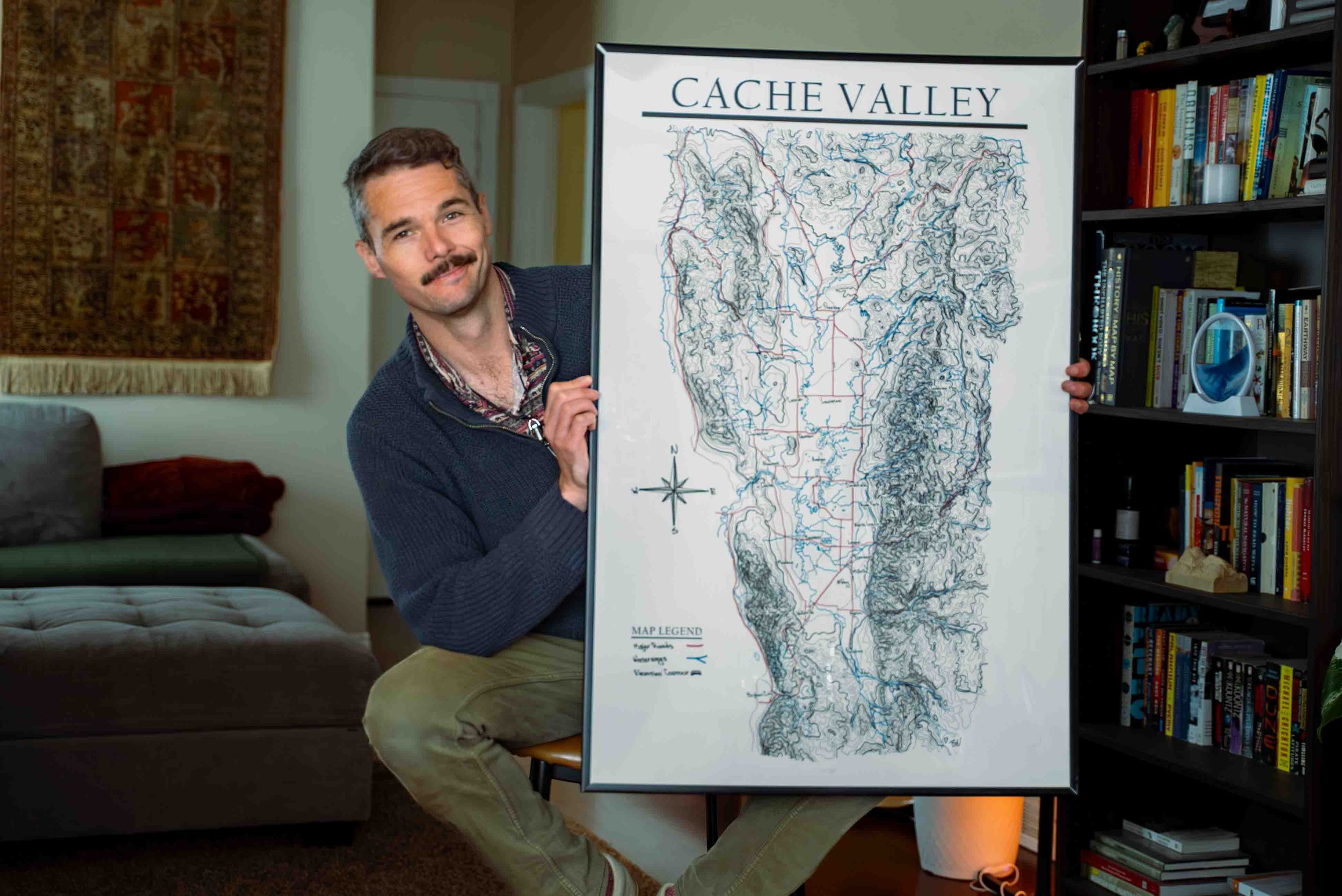
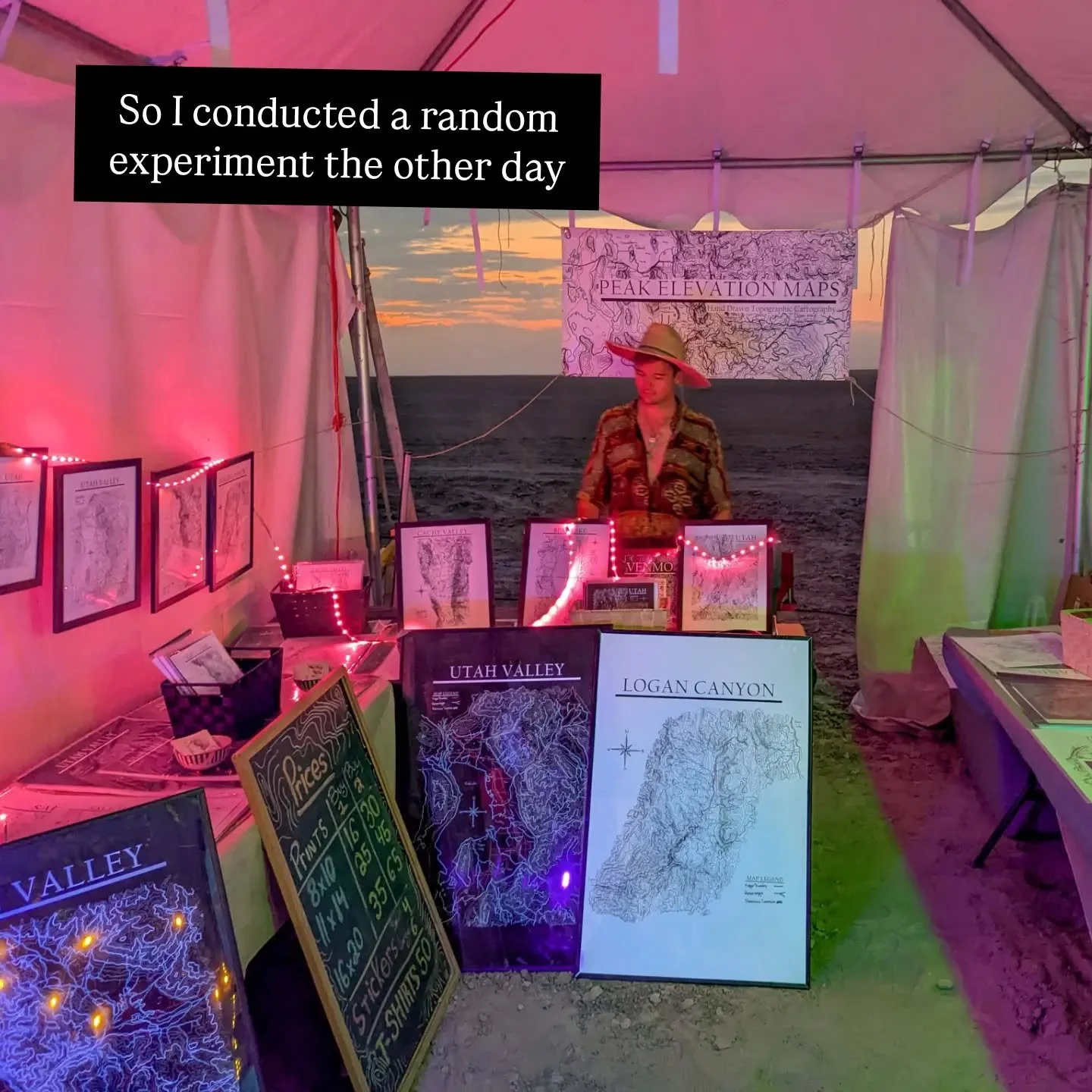
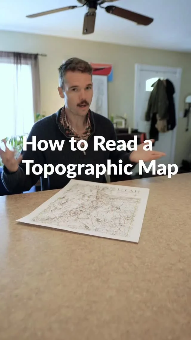
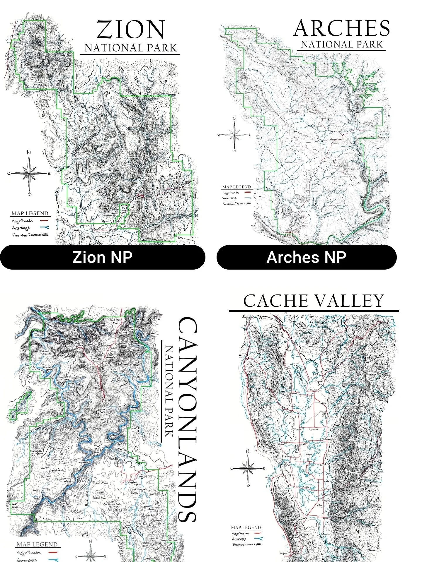
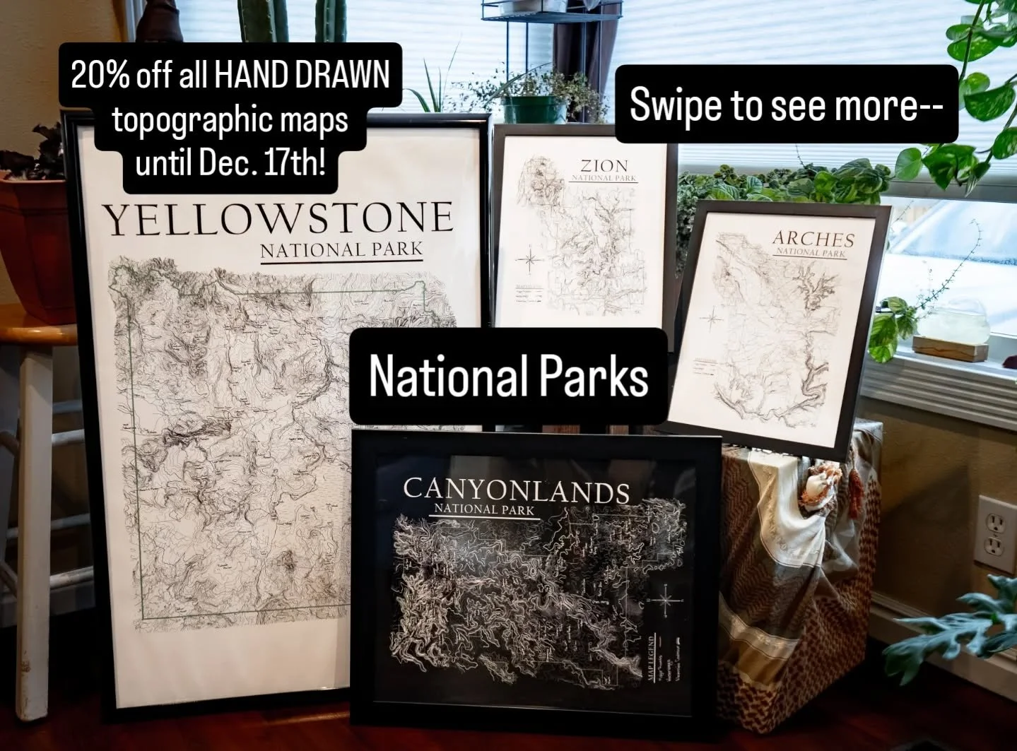
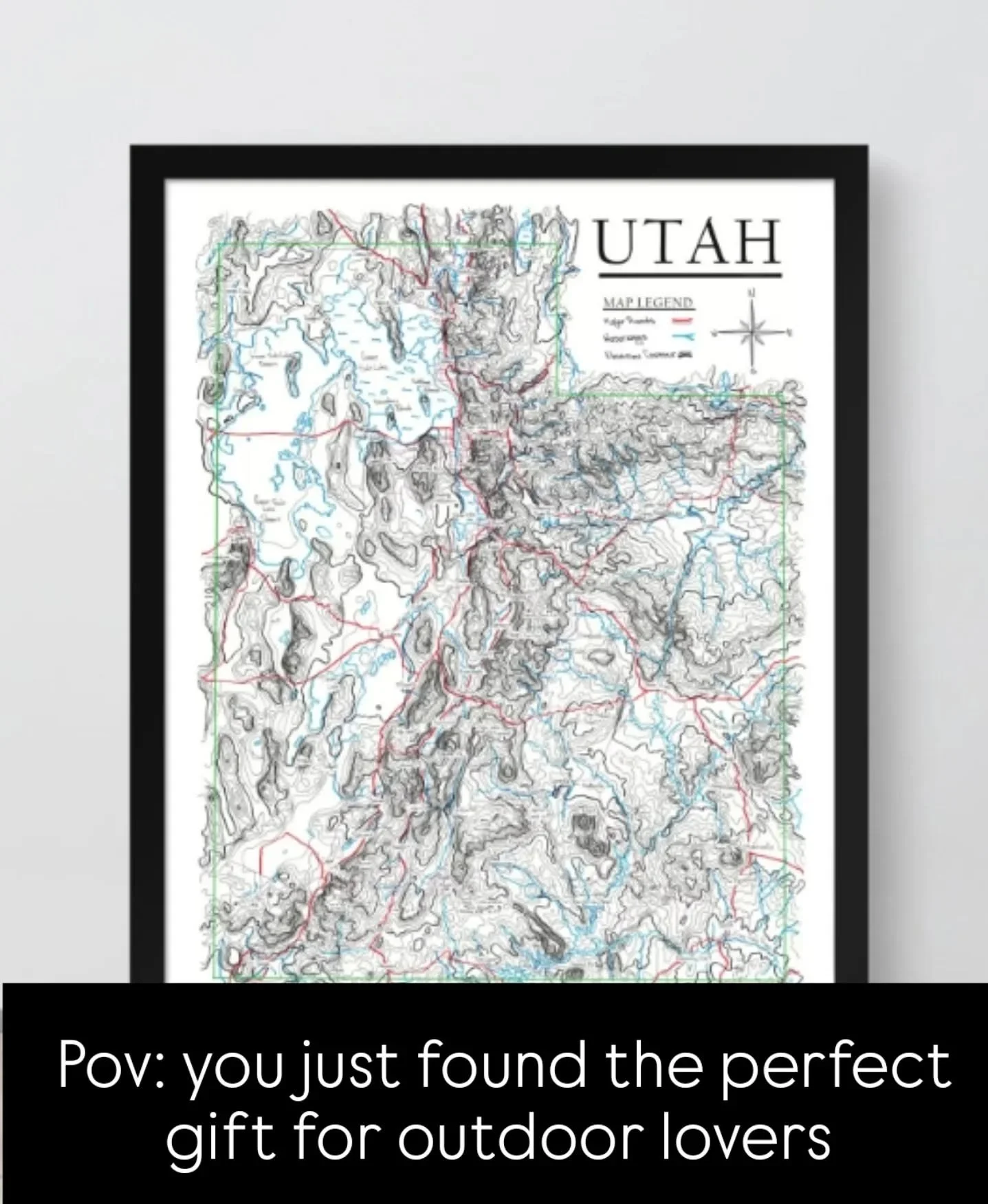
Hey! I’m Ben and I hand-drew all these maps!
I’d been unknowingly hand drawing topographic lines for years. In class, work meetings or just to pass the time…. But they were just free-flowing imagined landscapes that felt like creating worlds.
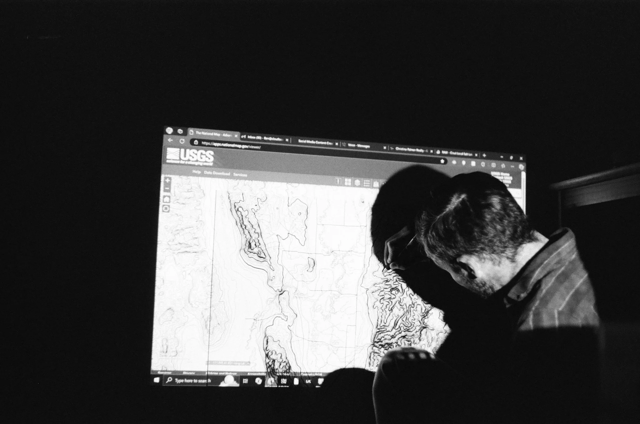
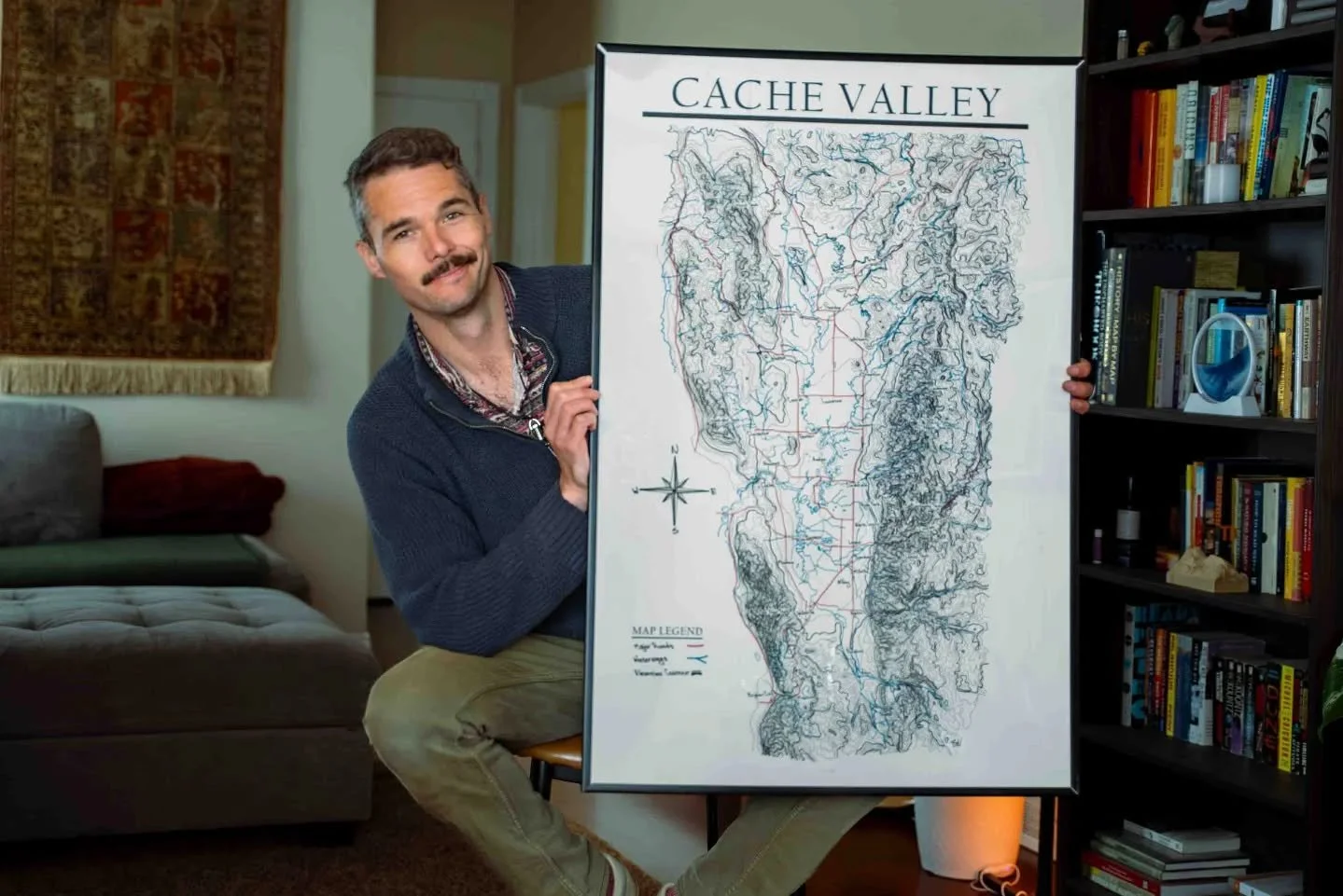
One day I said I’m going to draw a REAL PLACE!!! And since I live in Cache Valley, UT I said may as well start with that one. So, I projected the U.S. Geological Survey National Map onto the wall where I taped a poster paper. Then I traced each section by section to make sure it was suuuuper accurate, scanned all the posters at FeDex and digitally stitched ‘em together into a single image,
Printed it out and said “daaamn that’s cooool.”
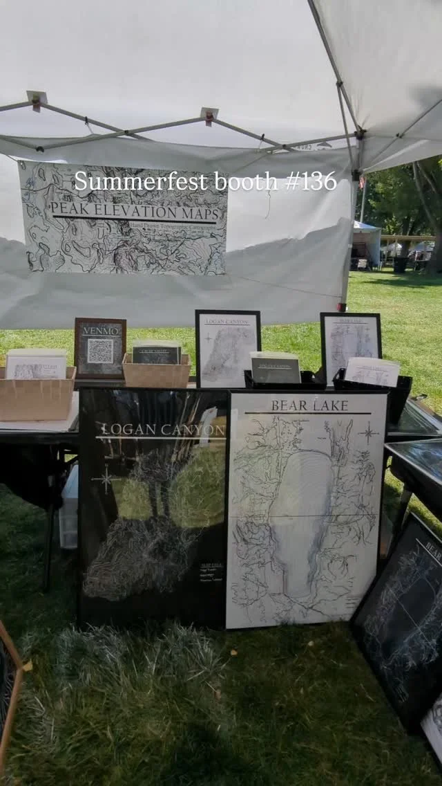
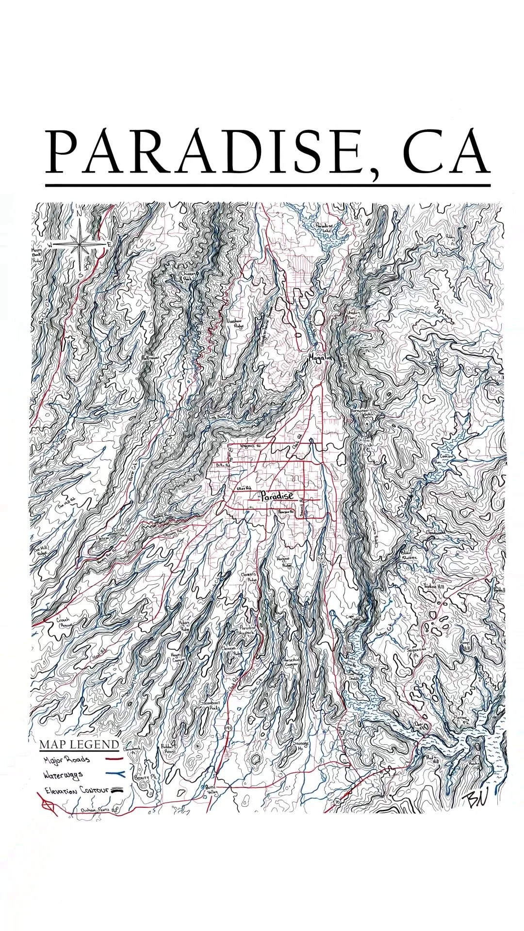
From there, I started branching outward—Logan Canyon, Bear Lake, Ogden, SLC, Utah Valley, Zion, and more. Most of what I've made so far is Utah, but I'm slowly working my way beyond the state line. National Parks, other states, and plenty of places I've never heard of yet are all fair game.
I really love the way topographic maps represent a 3d image on a 2d landscape. It’s just a flat surface but you can feel the depth in the images.
I live in Logan, UT, where I work as a Real Estate Media Professional, Digital Journalist, Map Artist and am happy to be able to enjoy the canyons, marshes and mountains all around me. Hiking, biking, camping, breweries, reading, community, art, meditation, music aaaand apparently, turns out drawing contour lines for 25 hours are my things.
If there's a place you'd like to see mapped—or you'd like a custom map of somewhere meaningful to you—get in touch. I'm always looking for the next place to draw!
-Ben N.
ben@peakelevationremedia.com
@peakelevationmaps